Contact our Iceland experts now
Enquire now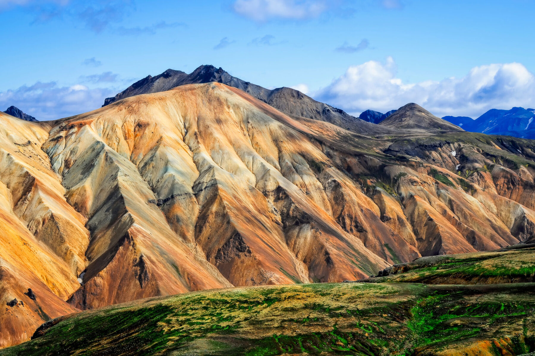
The Highlands Holidays
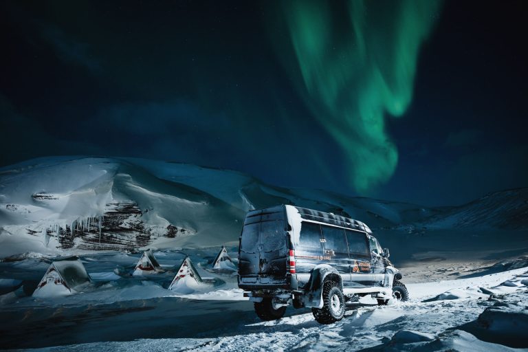
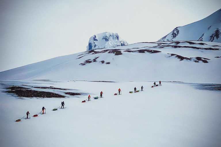
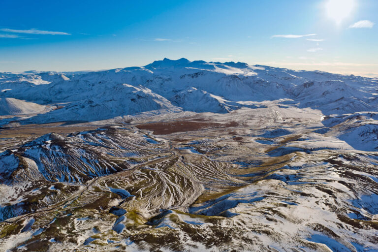
A vast and fascinating area, isolated, raw and rugged - once visited, never forgotten. This is a region where visitors feel humbled by lofty scenery and Mother Nature's awesome talent. A 4WD, high clearance vehicle is an absolute must, unless taking a guided tour.
Hveravellir
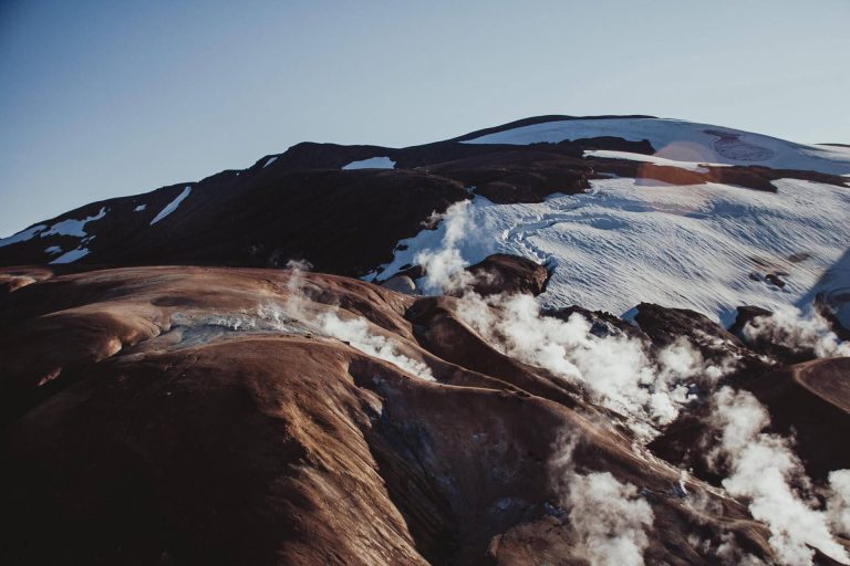
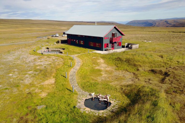
A remote geothermal area with steaming fumaroles and bubbling hot springs, Hveravellir Nature Reserve is located near the glaciers of Langjokull and Hofsjokull and can be reached by driving the Kjolur highland route south from the Blondudalur valley. Soak up the breathtaking views from Hveravellir’s Geothermal Nature Pool.
Popular Icelandic Highlands Holidays
Landmannalaugar
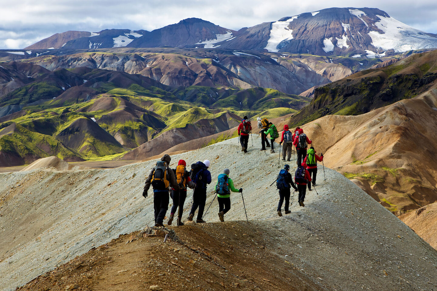
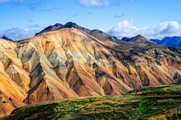
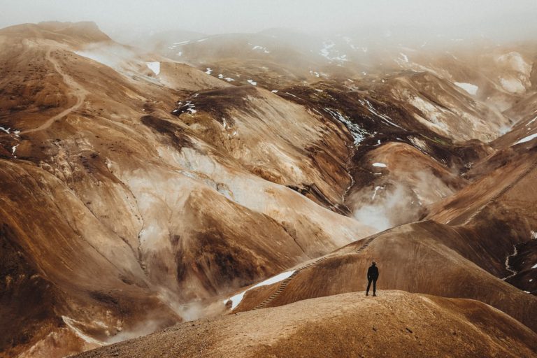
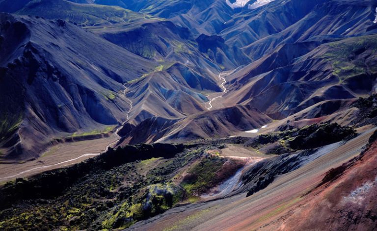
This area in the southern highlands, part of the Fjallabak region, offers an immense number of stunning views and outstanding natural beauty. The rhyolite lava actually sparkles in the sunshine and the myriad of colours in the mountains have to be seen to be believed. Many people come here in summer to walk and bathe in the natural hot river and horse riding excursions here are very popular.
Sprengisandur & Kjolur
These are remote gravel roads which traverse the highlands, offering far-reaching views of the ice caps when the weather is clear. Sprengisandur is the longest of the unpaved roads at over 200km and it begins near the Hekla volcano in the south ending at Godafoss in the north, crossing lava and vast ancient ice-age moraines. In some areas there are rivers which need fording and only 4WD high-clearance vehicles can cover this entire desolate and quite stark area during the summer months, although scheduled buses also cover parts. Kjolur, to the west, is also unpaved, passing the Kerlingarfjoll rhyolite ranges and Hveravellir, a colourful geothermal area.
Askja
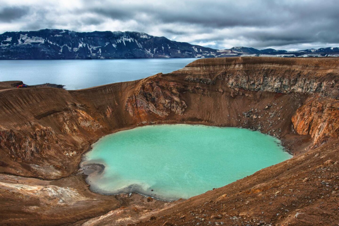
A central volcano and caldera located in a very remote part of the highlands and only accessible for a few months each year (excursions are bookable from Modrudalur in the East). A massive eruption in 1875 catapulted this region onto the world map and created the stunning lake, Oskjuvatn, actually the deepest in Iceland at 220m. Askja has erupted frequently over the last century, most recently in 1961.
Viti
This is a smaller explosion crater close to Oskjuvatn, about 100m in diameter. It also contains a lake of mineral-rich, opaque blue water which provides a great place for a swim in naturally heated water.
Eldgja
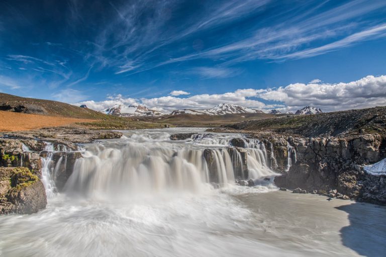
Meaning ‘fire canyon’, Eldgja was formed in a powerful eruption in 934. The canyon and the nearby Lakicraters are part of the same volcanic system as Grimsvotn and Katla. It is actually the largest volcanic canyon in the world – an impressive 270m deep and 600m wide. The area contains the waterfall Ofaerufoss.
Laki
This chain of 100 craters was formed in a cataclysmic fissure eruption in 1783 that belched out toxic gases and caused widespread famine in Iceland and throughout Europe.
Herdubreid
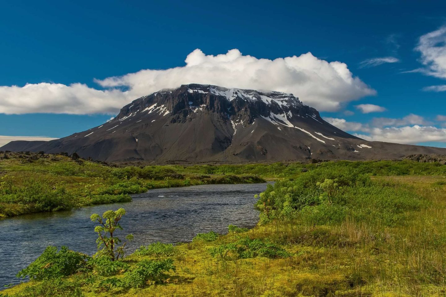
This 1682m high summit rises from the central plateau and has a flat top and steep sides typical of volcanic tuff table mountains – fondly referred to as the ‘queen of mountains’. A beautiful nature reserve lies at its foot.
Karahnjukar
Iceland’s largest hydroelectric power plant is located in the eastern highlands. Five major dams collect water to power six 115 MW turbines, making a project of such proportion that it has featured on the National Geographic channel in one of their ‘Megastructures’ programmes.



 Instagram
 Facebook
 YouTube