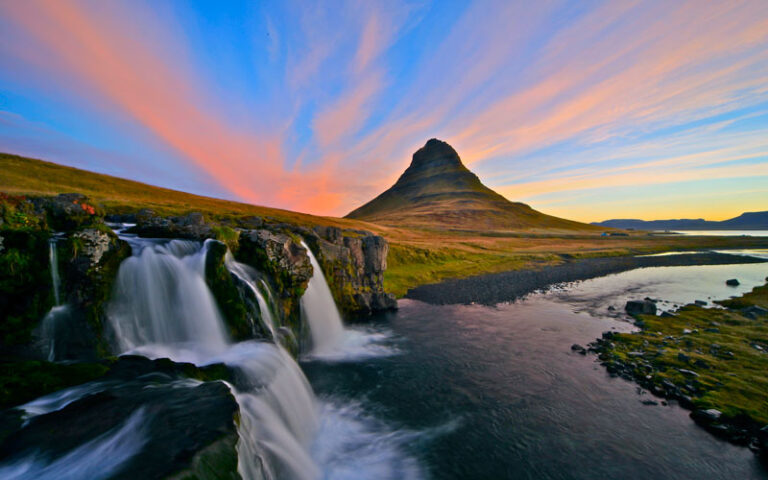
Experience Iceland – Classroom Ideas

Wednesday, 24th April 2019

Jo Coles

edu hraunfossar logo still video

As geographers, teachers, adventurers and explorers there is nothing as exciting as a new map!

It fills you with thoughts of potential journeys and discoveries. For many of us, gone are the days of battling with fold-out paper maps that you have to fight back into a neat fold. Although these are still wonderful for students to immerse themselves in, we often opt for a digital map.

GIS in the classroom is part of the National Curriculum orders and examining body specifications, but it is also something which can fill many of us with dread. Do I know how to use it? Will the tech infrastructure in the classroom work reliably? Will students just mess around? What are the learning outcomes from using this that cannot be gained from a good old-fashioned paper map?
Discover the World Education are excited to launch GIS Iceland; the interactive GIS tool. After being a real labour of love, we launched GIS Iceland at the Geographical Association annual conference and are excited to share its value with you all now.

GIS Iceland blends short video clips from different locations in Iceland that discuss various topics, including coastal landscapes, volcanic activity, geomorphology, etc. These videos are geo-located, enabling you and your students to explore Iceland as a virtual tour. As this is an ArcGIS satellite map, you have the usual feature of being able to zoom into the map and see high-resolution landforms and landscape features.

Visit GIS Iceland now and spend a few minutes clicking, touring and exploring how this map can benefit your classroom. Simply click into the map, zoom in and select different destinations across the island. Naturally this is also a useful planning tool if you are considering a residential trip to Iceland and can assist you with identifying the key areas you want to explore. GIS Iceland is also useful for demonstrating itineraries at the parental trip launch meeting.
Classroom Ideas

Country Study of Iceland (Developing a 'Sense of Place')
  • As part of your introduction to Iceland as a country, before starting, ask students to write down what they expect Iceland to be like, what they expect to see and what sorts of landscapes and landforms they can imagine.
  • Next, demonstrate the wide variety of landscapes across Iceland on the board through this map.
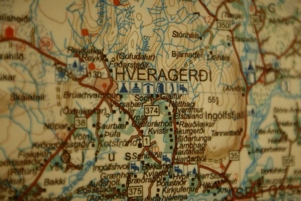
  • For example, click on 9 for Jokulsarlon and a brief description of glacial activity, then 14 for Reynishverfi coastal landscape and dramatic cliffs and stacks, then 12 Hveragerdi for renewable energy and changing places, then 5 for Reykjavik to contrast with a UK city, then 37 for the mighty Gullfoss waterfall, and finally 10 for the Eyjafjallajokull volcanic eruption case study, etc.
  • Use these different locations to challenge misconceptions and presumptions that students may have had about Iceland.
  • Discuss this: what were they surprised by? Were there any landforms or features they didn’t expect to see? How has their perception changed?
Student Tour Guides
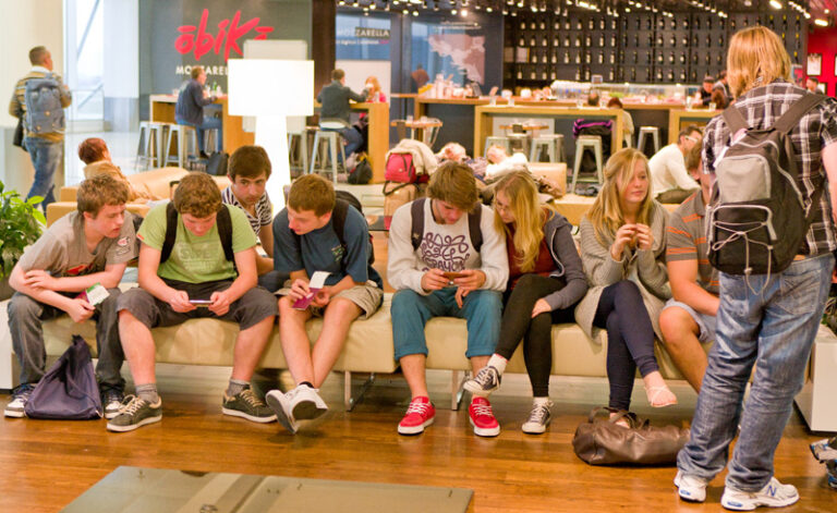
  • If you have access to a computer room or student mobile devices, set the challenge of students to use the GIS Iceland platform to plan a tour of Iceland
  • They could be divided up into groups to represent different groups of tourists, e.g. teenagers on a GCSE school trip, young families, back-pack hikers, retired couples, etc.
  • Students should choose 5 destinations for their tourist group to visit, and compile an itinerary that follows a logical transport sequence between the destinations, describes each location (further research on other platforms can be completed), and justifies why they chose this destination for their tourist group
Coastal Landscape Study
  • When studying coastal landscapes, particularly for KS4 and KS5, students can explore different coastal landscapes across Iceland using the GIS Iceland platform
  • Ask students to find named examples / locations for different coastal landforms, e.g. stack, cliff, beach, estuary, cave, etc.
  • These could be plotted onto their own map (either a hard copy paper outline map or their own digital map outline on PowerPoint, etc.) to practice transferring data from one form to another
  • Students could find evidence of erosional landforms or depositional landforms, concordant and discordant coasts, constructive and destructive waves, etc.
Volcanic landscape study
  • At location 10, you are linked to the award winning Eyjafjallajökull case study video, which also has supporting teacher resources on our website.
  • When studying the Eyjafjallajökull case studies, use the Experience Iceland platform to give students some context on the overall location and to introduce the video of the case study
  • Students could identify how land is used around the volcano, or think about population density and risks from eruptions
River Landform Study
  • When studying fluvial landscapes, landforms and processes particularly at KS4 and KS5, students can explore different examples in Iceland, e.g. Seljalandsfoss (21) compared to Dettifoss (6)
  • Students can watch the videos for each location, and consider the processes that create each waterfall
  • This could be compared to a geological map of Iceland to consider the role of rock type on landforms.
Changing Places – Hveragerdi Case Study
  • At location 12, you are linked to the award-winning Hveragerdi case study of Changing Places
  • Students can learn how and why the location has grown and changed over time, how physical geographic features such as the river, climate, land, geothermals, have influenced the location
  • This 8 minute video clip, and the associated resources can be used to demonstrate to students the use of renewable energy, agriculture, and how humans can adapt to cold environments.
Glacial Landscape Study
  • When studying coastal landscapes, particularly at KS4 and KS5 for cold environments and glacial geomorphology, students can explore different examples in Iceland
  • Ask students to find named example locations with evidence of glacial calving, e.g. at Jokulsarlon, or glacial movement, e.g. crevasses at Solheimajökull
  • Build this into your Solheimajökull case study for glacial retreat
  • Have students zoom into the satellite image at glacial locations, to identify features from the map such as moraine, drumlins, etc.

Popular blog posts

Over-tourism in Iceland – myths dispelled by the experts

Don't be put off Iceland. We'll tell you the facts about tourism in Iceland you need to know!

Friday, 10th November 2017

Destination Specialist

Ten volcanoes you can visit with Discover the World Education

What are your favourite volcanoes? We have picked ten very different volcanoes you can visit with us, from the Azores to New Zealand.

Thursday, 16th March 2017

Destination Specialist

10 Air Travel Tips For Effortless School Trips

We asked former teachers and current group tour leaders for their advice on how to make your journey as smooth as possible, from Departures to Arrivals.

Wednesday, 14th February 2018

Destination Specialist

Experience Iceland – Classroom Ideas

How to use our new GIS video map - GIS Iceland

Thursday, 25th April 2019

Jo Coles

Why You Should Visit West Iceland

A day or two in the West fits in nicely to a 5 day itinerary including the Golden Circle highlights so you don’t have to choose between them.

Tuesday, 13th November 2018

Destination Specialist