4 Videos On Glacial Features and Landforms In Iceland
Glacial Features and Landforms
It is impossible to ignore ‘Ice’ when looking at the Land of Ice and Fire. Approximately 11% of Iceland is covered by glaciers.
We have four fantastic videos for you to use in your classroom…
- Jökulsárlón (point 9 on GIS Iceland’s GIS map)
Jökulsárlón is an extraordinary case study for how glaciers are affected by a rise in temperature.
- Skaftafellsjökull (point 40 on GIS Iceland’s GIS map)
Skaftafellsjökull showcases evidence of freeze thaw and mechanical weathering.
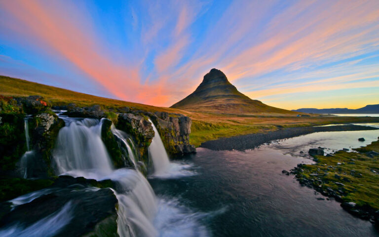
- Kirkjufell (point 35 on GIS Iceland’s GIS map)
Kirkjufell mountain, which was famously Arrowhead Mountain in Game of Thrones and has iconic steep sides, which was caused by erosion by moving ice.
- Solheimajokull (point 11 on GIS Iceland’s GIS map)
An 18-minute geography case study on one of Iceland’s best loved and most visited glaciers, Solheimajokull, which has seen many changes as a result of climate change.
More on Solheimajokull…
If you are interested in discovering more on the fantastic case study of Solheimajokull, then in addition to the full 18-minute case study video we have a range of further resources including worksheets and extension activities…
More from GIS Iceland...
41 videos filmed across Iceland make up our fantastic teaching resource, “GIS Iceland.” The resource demonstrates to students the stunning, yet contrasting landscapes of Iceland and brings some of the most iconic landscapes of the country to life in the classroom.
If glacial features isn’t your current focus then check out more videos from GIS Iceland, plotted on an interactive GIS map. Topics include;
- Urban Areas and Hotspots
- Rivers and Waterfalls
- Coastal Areas and Landforms
- Volcanic Features and Landforms
If you want your students to get a little closer to the ice, check out our range of destinations which bring this topic to life, including Iceland, Norway and Montenegro.
