GIS Iceland
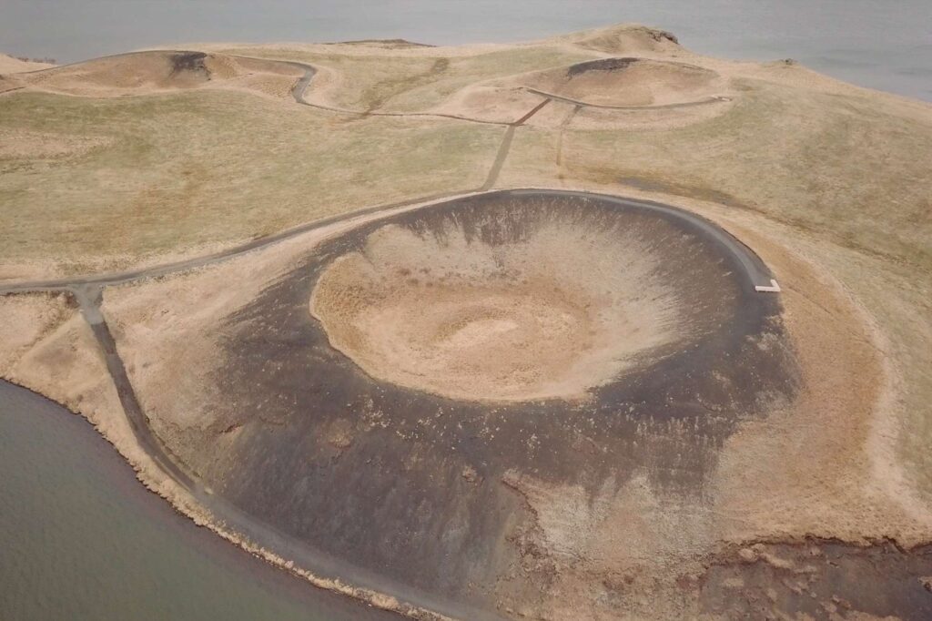
We’re excited to share with you our brand new innovative resource that brings you the sights and sounds of Iceland, straight to your classroom.
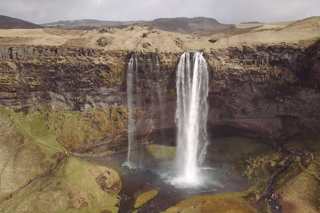
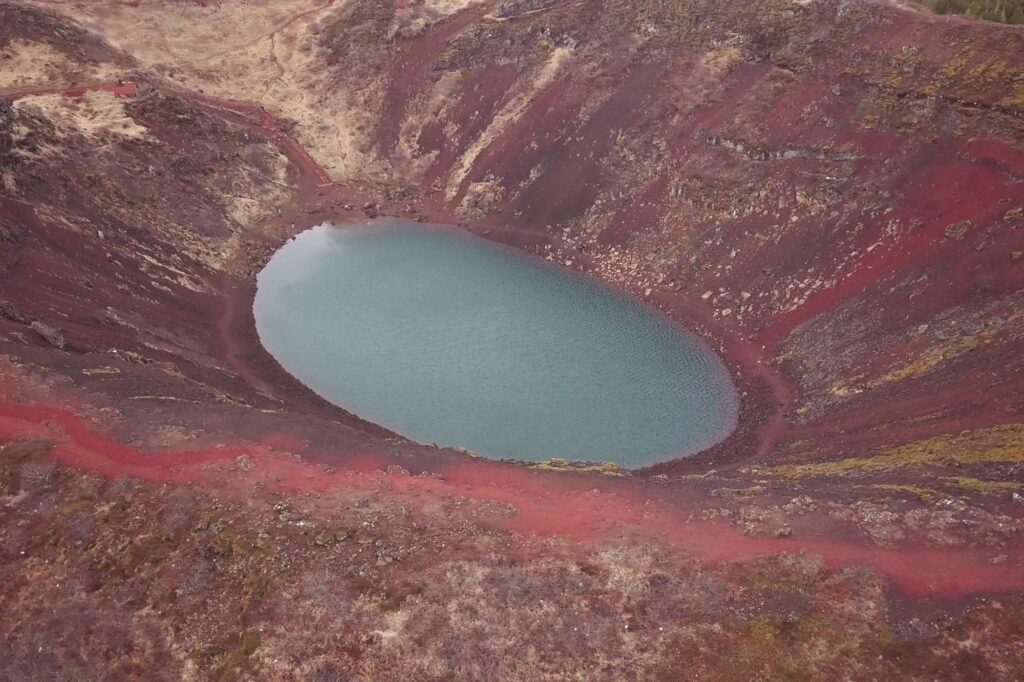
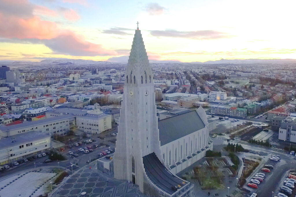
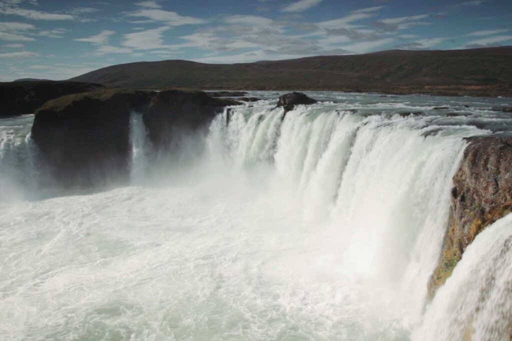
Join Simon Ross as he explores Iceland’s most iconic attractions, as well as some lesser known hidden gems across the island. See how Iceland can be used as a case study for geographers and an ideal destination for an unforgettable and educational school trip.
GIS Iceland consists of videos plotted on a GIS map complete with annotations and descriptions. The satellite view allows you to zoom in and demonstrate to your students how the land of fire and ice has been shaped over time. You’ll see lava fields, the Mid Atlantic ridge and other features that can’t be seen at ground level.
How to use GIS Iceland
- Simply Launch GIS Iceland above to get started
- Navigate around the map using the video thumbnails or the plots on the map
- Zoom into the GIS map to get a satellite image of the location
- Connect to your physical geography classroom case studies
- Give your students context before their school trip
