Your Guide to Hiking in Norway
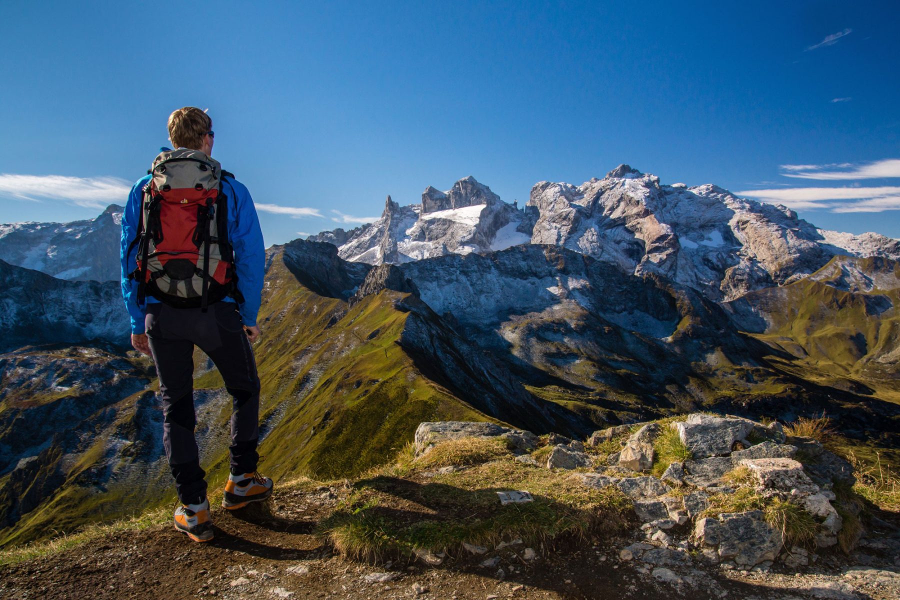
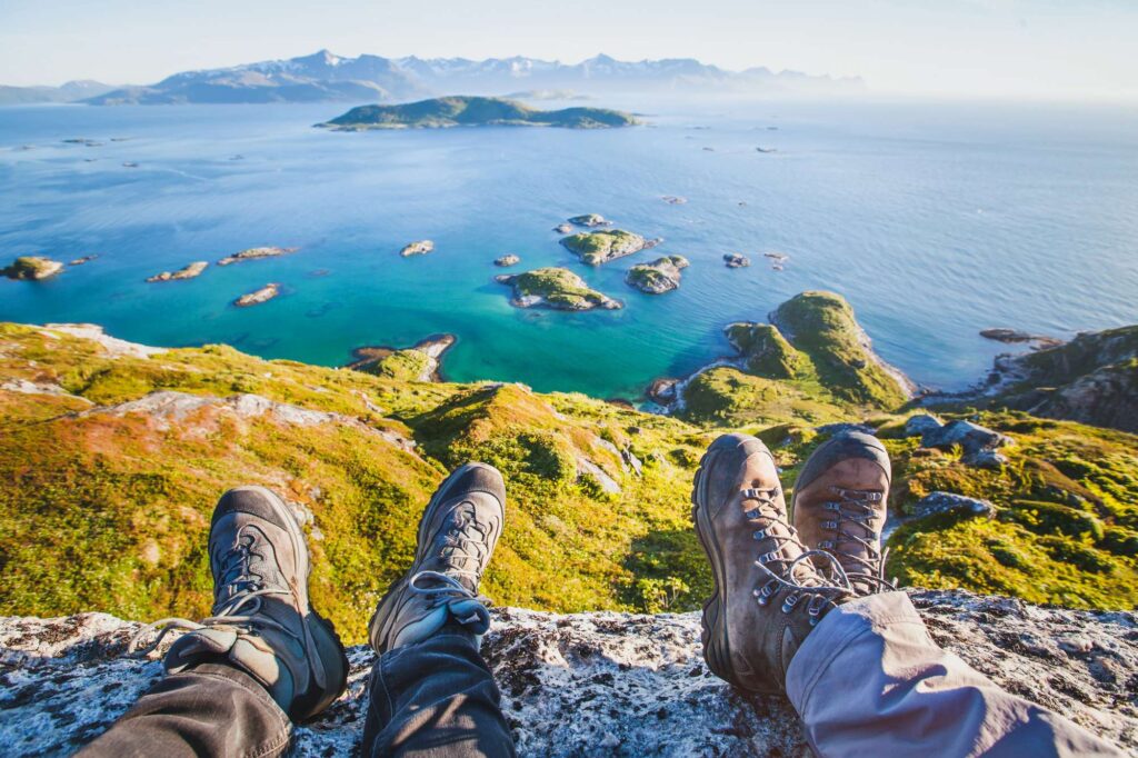
Norway is a veritable mecca for hikers, and with a landscape of jagged coastline, spectacular mountain paths, and breathtakingly beautiful fjords, it is little wonder why. Hiking in Norway is a popular pursuit for both tourists and locals, meaning there is a fantastic infrastructure to support such a pastime. With well-marked trails, strong transport links, and cosy hotels to rest your head after a long day of trekking, Norway is a country that embraces getting closer to nature by exploring it on foot.
This guide aims to answer the most commonly asked questions around hitting the trail in Norway and where you could visit.
Where should I stay in Norway for hiking?
There are hiking opportunities all around Norway. Choosing an area to stay in for your hiking holiday depends on what kind of landscape you wish to see. If you are looking for a traditionally Norwegian hiking experience, you should consider Fjord Norway in the west of the country. As the name would suggest, the area is home to a large majority of Norway’s fjords and the possibilities for hiking are numerous.
Those looking for a mountain challenge might consider Jotunheimen National Park where Norway’s highest peaks can be found, or possibly the Lyngen Alps in Northern Norway. However, You can also find lovely hiking trails around the city of Bergen, which is known as the “meadow between the mountains”. Surrounded by seven separate peaks, Bergen is a great place from which to experience nature whilst being close to a vibrant and bustling city.
In addition there are trails in close proximity to the cities of Oslo, Alesund, and Tromso, while the Lofoten Islands and Senja also offer excellent prospects for exploring on foot.

Where can you hike in Oslo?
There are plenty of hiking trails around Oslo, Norway’s capital city. There are trails that can be easily accessed from the city whereas some others require a short bus or boat ride to get to. There are peaks around the edge of the city that offer some mind-blowing panoramic views, or you could venture to the islands in the Oslofjord to experience tranquil beach walks. There are lush forests to the north, east, and west of the city with trails that snake deep into the woods, leading to secluded lakes and peaceful clearings for a picnic.
If you are looking for less of a challenge, Oslo is lucky enough to be home to a number of urban parks that provide green space to enjoy without having to leave the confines of the city. Ekebergparken in the east is a lovely spot with views of both the city and the fjord, as well as a sculpture garden that houses works from artists like Dali and Rodin.
What is Oslo Pass?
If you are staying in Oslo, the Oslo Pass is a great way to get free or discounted prices for city attractions as well as travel to the surrounding regions. It can be a worthwhile purchase for travellers as it can also give you discounts on walks, cycling, and sightseeing tours.
How long does it take to hike Pulpit Rock?
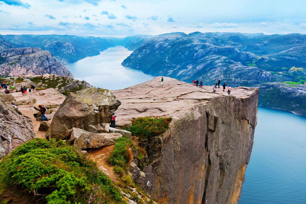
The six kilometre hike to the top of Pulpit Rock is considered moderately demanding, and takes around two hours each way. The hike begins at Preikestolen fjellstue mountain cabin, which is accessible by car or boat.
Pulpit Rock is a very popular destination for hikers, located in the municipality of Strand in Rogaland county. Known as Preikestolen in Norwegian, the steep cliff towers 604m above the fjord of Lysefjord.
At the top of Pulpit Rock is a plateau of around 25m square, marking the end of your journey. From here, you will have incredible views across the breathtaking valleys of the Ryfylke region as well as the enormous fjord beneath you.
How do you get to Pulpit Rock from Stavanger?
Stavanger is Norway’s fourth largest city and one of the oldest in the country. It is located 25km from the starting point of your hike to Pulpit Rock. You can drive there from Stavanger via the Norwegian National Road 13 then the ferry from Tau.

How long does it take to hike Kjeragbolten?
Across Lysefjord from Pulpit Rock is Kjeragbolten, another hike with stunning views from the top. The Kjeragbolten hike takes between three and five hours each way and covers a distance of 12km. It is considered strenuous and takes you up an elevation of 570m. One of the most famous parts of this hike is a boulder that sits squeezed between two large cliff faces. The Kjerag rock has been photographed by hundreds of thousands of visitors and has become a staple on Instagram. There is a chain on the ground to help visitors step out onto the boulder and it is relatively safe, however there is 1000m of empty space between yourself and the fjord beneath you, so it is certainly not for everyone!
Is Trolltunga a hard hike?
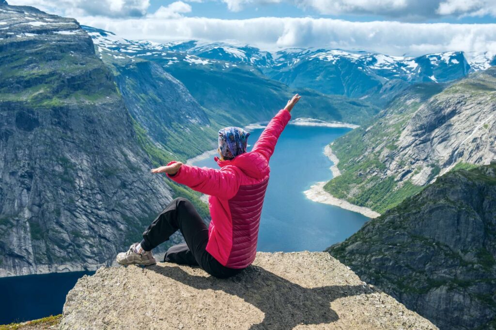
Trolltunga is not a hike for the faint-hearted and is known to be quite demanding. The distance is 28km there and back with a total hike time of between ten and 12 hours. It consists of several shorter climbs with flatter terrain between them but it still takes you to an elevation of around 900m.
The name Trolltunga literally means ‘troll tongue’ and it comes from the end point of your hike, which is a thin plateau of rock that juts out from the cliff edge – looking much like a tongue!
How do you prepare for the Trolltunga hike?
Due to the time it takes to get to the ‘tongue’ and back, it is recommended to start your hike no later than 10am during the summer months in order to ensure daylight passage back down. The trail is clearly marked so you will not need a guide (this will change during the winter when the conditions are more difficult to navigate through).
You will need to pack the following items:
- Hiking shoes/boots (make sure they are properly waterproof as the trail will take you through streams and small rivers)
- Warm, waterproof clothing and pack extra layers
- Food and water
- First aid kit
- Sunscreen
If you would like to experience Trolltunga but you are not keen on the full hike, there is a car park called Mågelitopp or P3 that shaves off three hours of hike time by eliminating the first climb/last descent so could be an option for those that are somewhat pressed for time.

When can you hike in Norway?
The summer months are the best for hiking in terms of the weather. Although winter offers some beautiful scenery, it will be more challenging due to the unpredictable, and often very cold, weather.
If you are looking to explore Norway’s wonderful scenery on foot browse our collection of hiking holidays in Norway or speak to our Travel Specialists on 01737 214 250 to start planning.


 Instagram
 Facebook
 YouTube