Home Blog Eyjafjallajokull: Iceland’s Infamous Volcano

Eyjafjallajokull: Iceland’s Infamous Volcano

Saturday, 19th July 2014

iceland eyjafjallajokull volcano

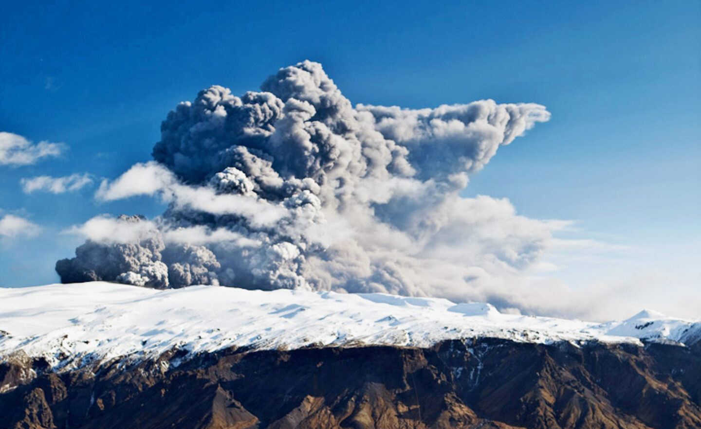
Situated in the south west of Iceland, Eyjafjallajokull is an 800,000 year old volcano with an almost unpronounceable name that was thrust into the limelight when it erupted in 2010… causing an ash cloud that grounded aviation in the northern hemisphere. It is reckoned to be the oldest active strato volcano on the island. By comparison, Hekla is a mere infant at just 8800 years of age.

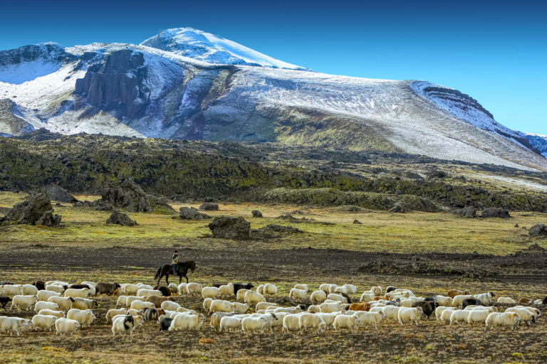
Ice-capped Eyjafjallajokull (the name is made up of three parts: eyja = island, fjall = mountain and jökull = glacier) is topped by a crater, whose rim rises to 1666 metres in height from the coast, which is just a few kilometres from its base. Shrouding the volcano is an ice field 75 km² in area and 50-200 metres thick but thicker in the summit crater, from where Gigjokull (crater glacier) drops over 1000m in a steep and deeply crevassed icefall to the valley floor north of the volcano. By all standards, it is a beautiful and shapely volcanic cone, a landmark visible from afar that is made all the more impressive by its glaciers.

Eyjafjallajokull normally stays out of the limelight and is less known and less active than other Icelandic volcanoes, its last eruption occurring in 1821-23. Perhaps this is because historically Icelanders have been much more in awe and fear of its powerful neighbour, Katla, whose eruptions at roughly 50-year intervals under Myrdalsjokull, a much larger and thicker icecap, provoke widespread flooding on the coastal plains. But, what made the Icelanders jittery on this occasion is that Katla is long overdue and can be triggered by activity on Eyjafjallajokull. Katla last blew in 1918 provoking a flash flood of 200,000 cubic metres of muddy, swirling meltwater per second – to give you an idea of the scale of it that’s twice the average flow of the Amazon at its mouth. Icebergs the size of houses were seen floating at sea.
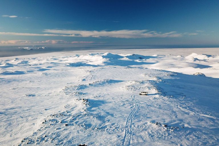
iceland south east eyjafjallajokull superjeep rth

Timeline of the eruption on Eyjafjallajökull: March - April 2010

Shortly before midnight on March 21st, a 500-600 m long fissure stretching north east to south west opened up on the north-eastern flank of Eyjafjallajokull on the ice-free Fimmvorduhals ridge, which divides this icecap from Myrdalsjokull its 560 km² neighbour to the east. The eruption site lies close to a spectacular summer walking route that connects Skógar on the coast with the Thorsmork Valley.

The early stage of the eruption produced 10-15 spectacular lava fountains, which later concentrated into just five, the highest reaching 150 m above the vent. A curved wall of scoria and lava lumps began to pile up west of the fountains, while to the east, the wall is lower.

A small mountain rising to 150 m in height has accumulated around the vents. Viscous, slow-flowing basalt oozed from the vents, advancing like a sluggish avalanche at its margins but forming glowing rivers where the gradient steepened.

On March 30th, the lava flow area covered about one sq km and had split into two branches, each spilling off the ridge into the gaping gullies that are a special feature of the landscape of this deeply eroded area. These spectacular lava falls have provided some of the most amazing photographic images of the eruption.

At 19.00 a new 400 m long fissure opened up west of the first one, from which several lava fountains emerged. As the area is snow-covered, columns of steam rise from the lava accompanied by steam explosions.

The original fissure stops erupting but the second site remains active. Two main and two subsidiary vents continue to emit substantial amounts of lava, forming lava rivers that tumble off the cliffs into the Hvannárgil gorge, far below. A number of earthquakes, measuring 2,0-3.5 on the Richter scale have been noted and may signal a new eruption pattern.

At around 04.00 in the morning another fissure opened but this time on the summit caldera of the volcano at a distance of about 8 km from the first eruption site. Here the ice is 200-300 m thick and by 09.00 it was clear that an explosive eruption was under way. Because of the interaction between magma and ice, only tephra was produced. On this first day flash floods occurred twice, discharging around 1,500-2,000 cubic metres per second of melt water – a fairly modest flood by Icelandic standards and equivalent to the volume of around 10 average homes. Flooding damages the main road around the island, closing it to traffic.

North-westerly winds drive the ash plume eastwards and as ash falls on farmland along the south coast 800 inhabitants are evacuated from the area. Drainage ditches are filled with ash washed down in the flooding and farmers are concerned about how they will manage the clean-up.

The ash plume drifts towards Europe and Scandinavia as more and more countries ban flying. The road continues to be closed to all but essential traffic. Spectacular displays of lightening continue to be witnessed in the ash plume above the eruption site.

Lava is seen at the eruption site, perhaps signalling a reduction in the explosive stage of the eruption and an end to the ash cloud. The inhabitants of Reykjavík continue to be slightly bemused by all the media attention as they and 95% of the rest of the rest of the island have been unaffected by the eruption and apart from flight disruption it is business as usual! They are looking forward to a busy summer season as visitors flock to the island to see the eruption site once things calm down again.

Planning a visit

If you’re interested in witnessing a volcanic eruption then register on our volcano hotline to be among the first to be notified of future eruptions.

You don’t need a live eruption to witness Iceland’s spectacular volcanic landscapes. Browse our range of holidays from self drives to small group escorted tours or get in touch with our Travel Specialists to discuss your options.