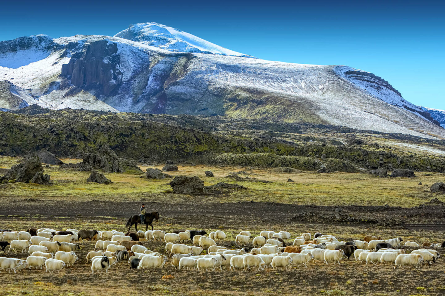
Eight volcanoes. 1200 kilometres. 17 towns and villages. Iceland’s Volcanic Way brings together the extensive volcanic areas of the south in a weeklong(ish) touring suggestion.
Geologically, Iceland is a young country, still in the making. The recent and ongoing eruption on the Reykjanes Peninsula providing visible evidence of this continuing and quite spectacular process. There are over 30 volcanic systems in Iceland and nearly every kind of volcanic activity can be found here.
It is virtually impossible to consider Iceland without volcanoes and geothermal activity coming to mind. The landscapes are dominated by volcanic features – lava fields, basalt columns, hot springs, black sand beaches, calderas, volcanic mountains and sub-glacial volcanoes. The latter juxtaposition of ice and fire, adding a surreal touch. This new route brings them altogether and takes in both popular tourist spots and off-the-beaten-track places that showcase South Iceland’s natural wonders. With much to see and do, this is intended to provide immersive, slow travel for those who really want take everything in.
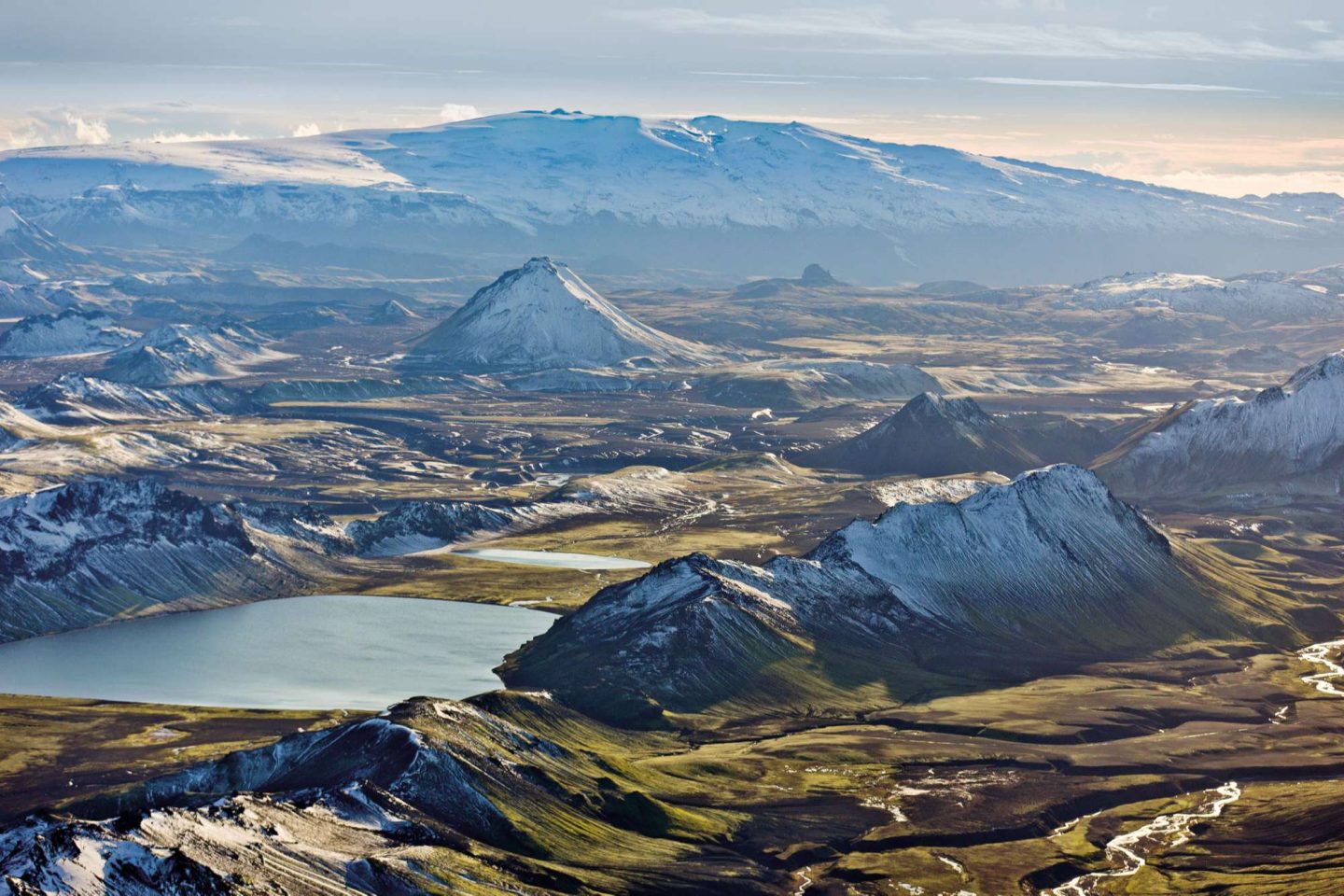
Volcanoes along The Volcanic Way
The Volcanic Way connects eight volcanoes across South Iceland, dividing each into a daily stage. And it’s certainly not just for geologists. Covering 1200km (including the return journey), and weaving in towns and villages along the route, you’ll get a real insight into what makes this island nation what it is and how Icelanders have historically, and still, embrace the powerful natural elements they live with.
As well as marvel at the extraordinary landscapes, you can grab chances to bathe in geothermal pools, venture on glaciers by snowmobile or Superjeep, explore ice caves, stroll on a black sand beach or ride an Icelandic horse through epic countryside.
1) Fagradalsfjall
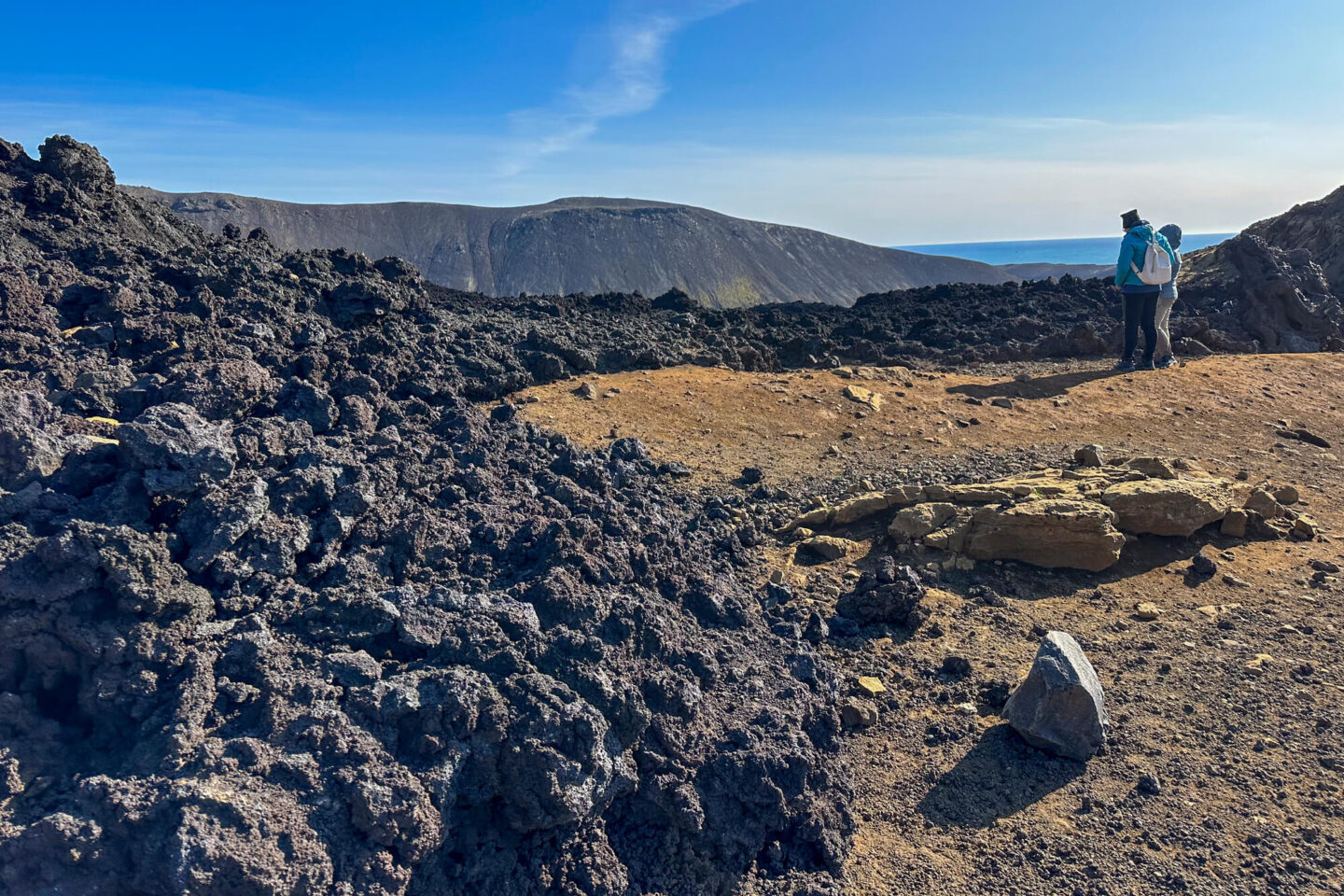
The site of the 2021 eruption and part of volcanic system that is currently very active on Iceland’s Reykjanes Peninsula, Fagradalsfjall sits among a legacy of lava fields. A popular hiking trail leads to the most recently formed lava, following a six-month-long eruption.
Exploring the wider peninsula, you can visit the mud pools and steam vents of Krisuvik, cross the Bridge Between Continents, marvel at Gunnuhver hot springs or head to Reykjanesviti beach, where iconic Reykjanes Lighthouse, Iceland’s oldest, stands tall against the dramatic coastline.
2) Hengill
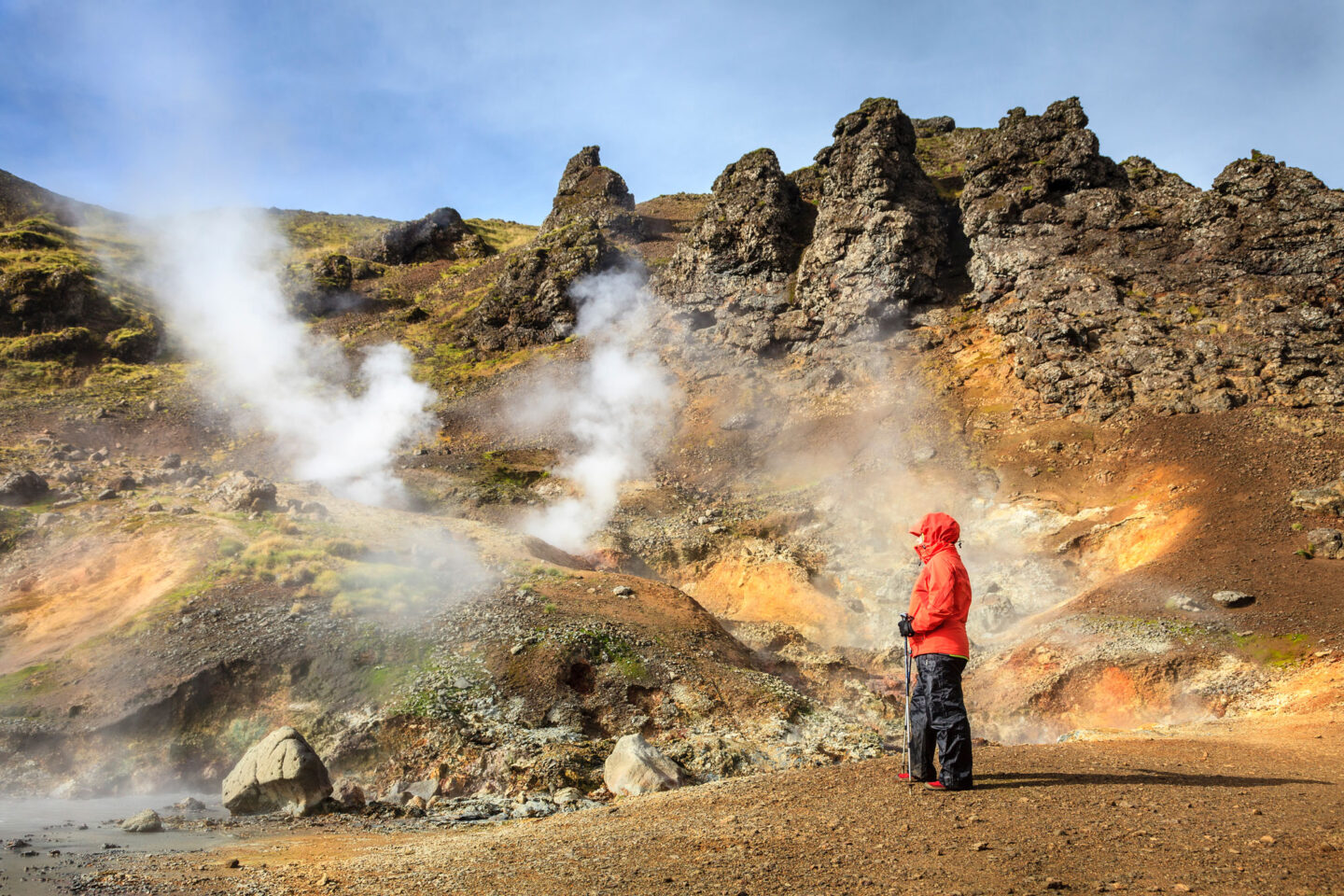
Things get steamy on route to the Hengill area, to the east of Reykjavik. This is an area of hot springs and farmland with the expansive table mountain at its heart. Truly an Icelandic hotspot, the geothermal energy of this area is abundant and has been put to good use by locals for centuries – there are two power plants nearby including Hellisheiði, which hosts a Geothermal Exhibition for those wanting to discover more about how this natural energy has been harnessed as well as developments for a sustainable future.
Around the area, the town of Hveragerdi is Iceland’s horticultural centre, where vegetables, cut flowers and house plants are grown in greenhouses heated by the geothermal springs. Walking trails follow the Reykjadalur valley where you can visit hot springs, mud pools and bathe in a hot river. Close by is the colourful explosion crater, Kerid or you could head subterranean at Raufarhólshellir lava tunnel.
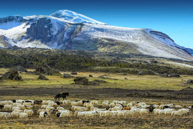
This is a good day for a hike with over 100km of trails or to take an excursion riding a pure-bred Icelandic horse through the fertile countryside.
3) Hekla
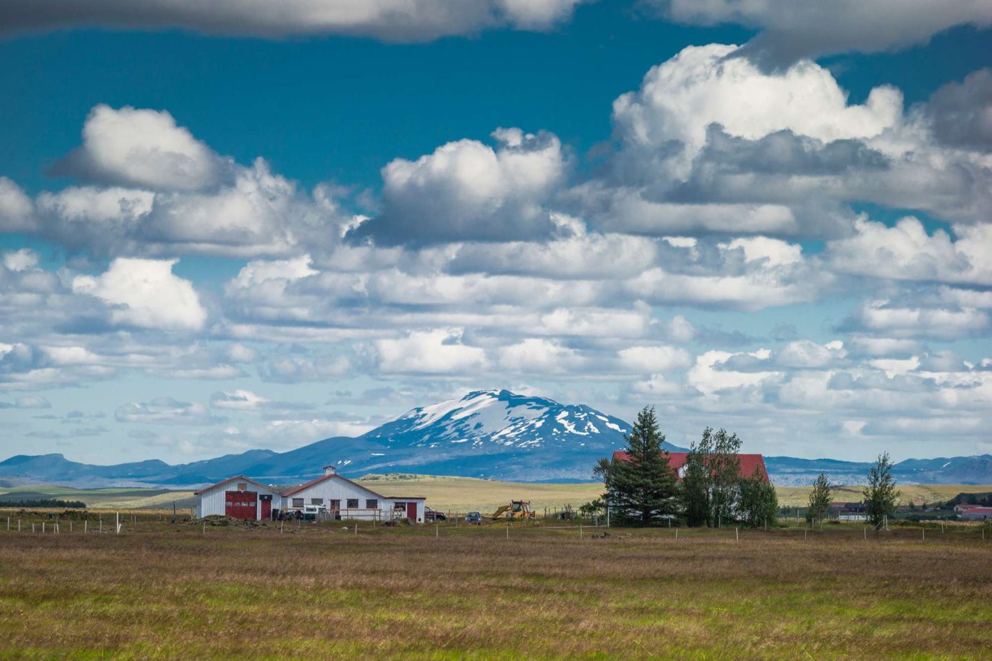
As you head east, the brooding hulk of Mt Hekla looms in the distance. One of Iceland’s most prolific volcanoes, Hekla has erupted over 20 times since the island was settled in 874 and is closely monitored for signs of its next eruption. At nearly 1500m tall, the snow-capped conical mountain makes an imposing sight. A popular hiking trail in summer of 3-4 hours leads to the summit.
In its shadow lies the lush Thjorsardalur valley with its beautiful gorges such as Gjain and waterfalls including Haifoss, the second highest in Iceland. Stong is an excavated farm in the valley, which was buried under Hekla’s ash in the 12th century. Nearby, a reconstruction of the homestead is open to visitors during summer.
4) Eyjafjalljokull
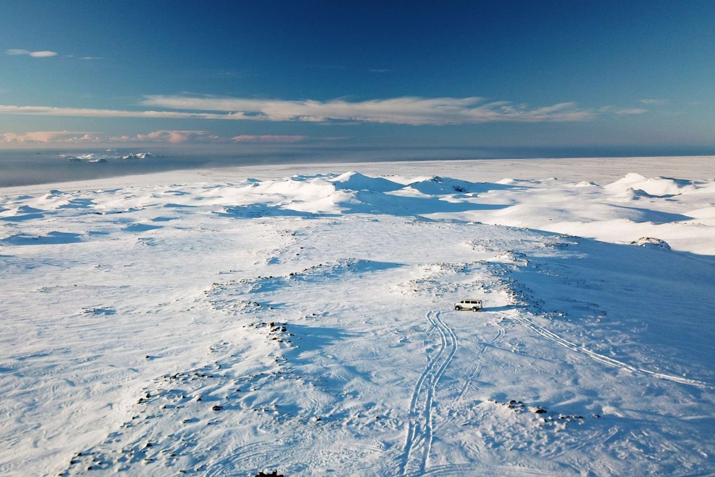
Iceland’s unpronounceable volcano is one of its most famous, thanks to the 2010 eruption that grounded flights in the northern hemisphere. Lurking beneath the icecap, the eruption generated a huge ash cloud that apart from the creating aviation havoc, also covered the surrounding farmland in ash. Destructive as this initially was, the ash proved an effective fertiliser, once again demonstrating the positive connection between nature and people.
You can venture to the eruption site on a thrilling Superjeep excursion into Thorsmork – a wooded valley, wedged between glaciers and cut-through by fast flowing rivers.
Two of Iceland’s best known and striking waterfalls feature on this section of the route. Seljalandsfoss and Skogafoss compete in the beauty stakes and should not be missed.
Make sure to expand your knowledge with a visit to the Lava Centre, a modern, interactive museum showcasing the defining forces in shaping Iceland’s very existence.
5) Eldfell
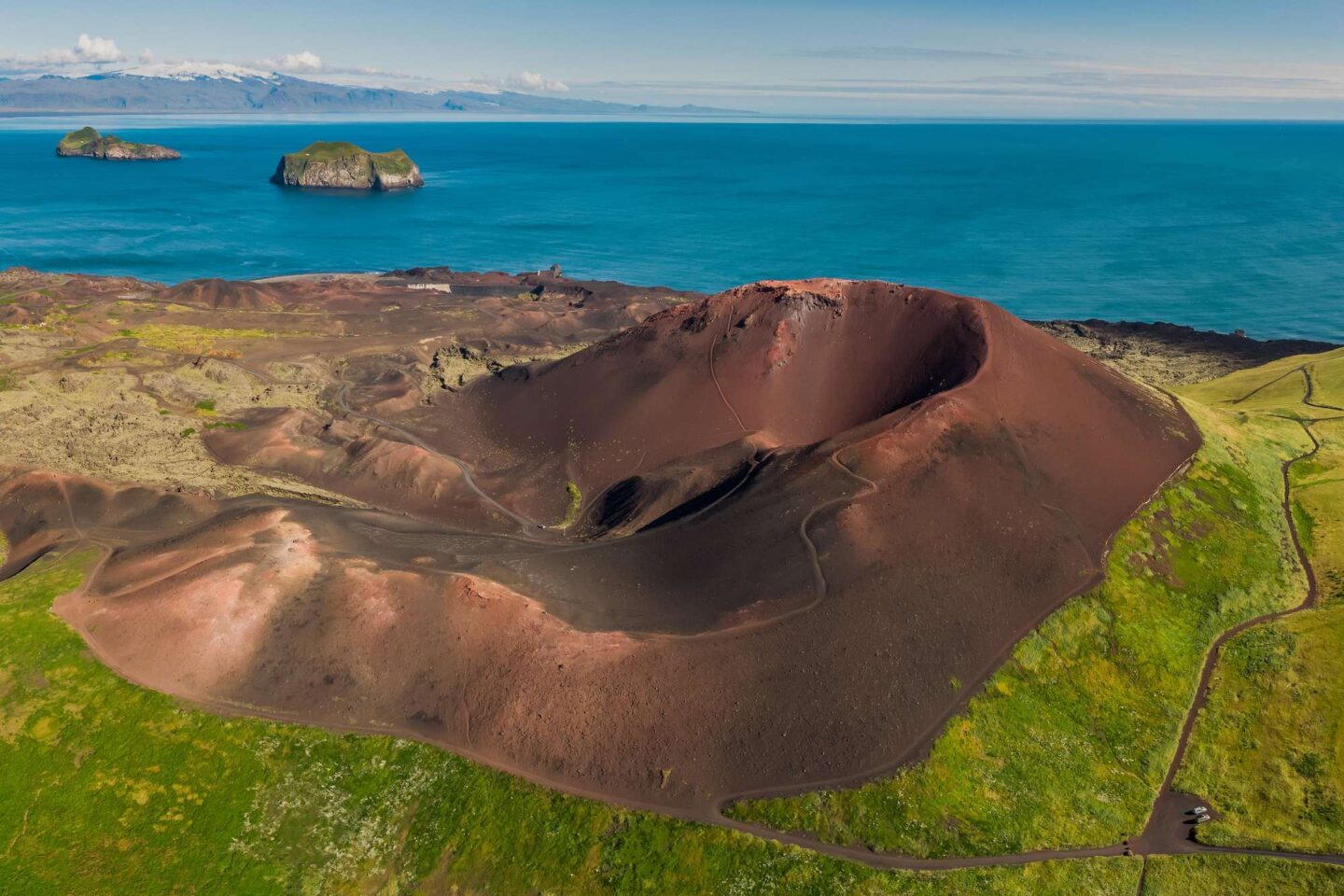
A craggy collection of 15 islands off the south shore form the next stage of the route. In 1973, the Westman Islands, a major fishing centre, experienced a devastating eruption necessitating the evacuation of the town of Heimaey. Around one fifth of the town was destroyed, but the harbour was saved by dousing the lava with seawater. The port is once again thriving and stands as another vivid example of Icelandic tenacity and spirit.
A short hop by ferry will take you across to Heimaey, where you can climb Eldfell crater and visit the houses excavated from the ash of the 1973 eruption.
The Westman Islands were also once a sanctuary to Keiko, the orca of “Free Willy” fame before he returned to home waters in the US. The islands now host the world’s first beluga whale sanctuary.
6) Katla
Back on the mainland, Katla is another sub-glacial volcano hiding beneath impressive Myrdalsjokull, the much larger neighbour of Eyjafjallajokull. Further opportunities for snowmobiling present themselves here though the recommendation is to explore the sights of the south shore that are characterised by the legacy of Katla’s former eruptions.
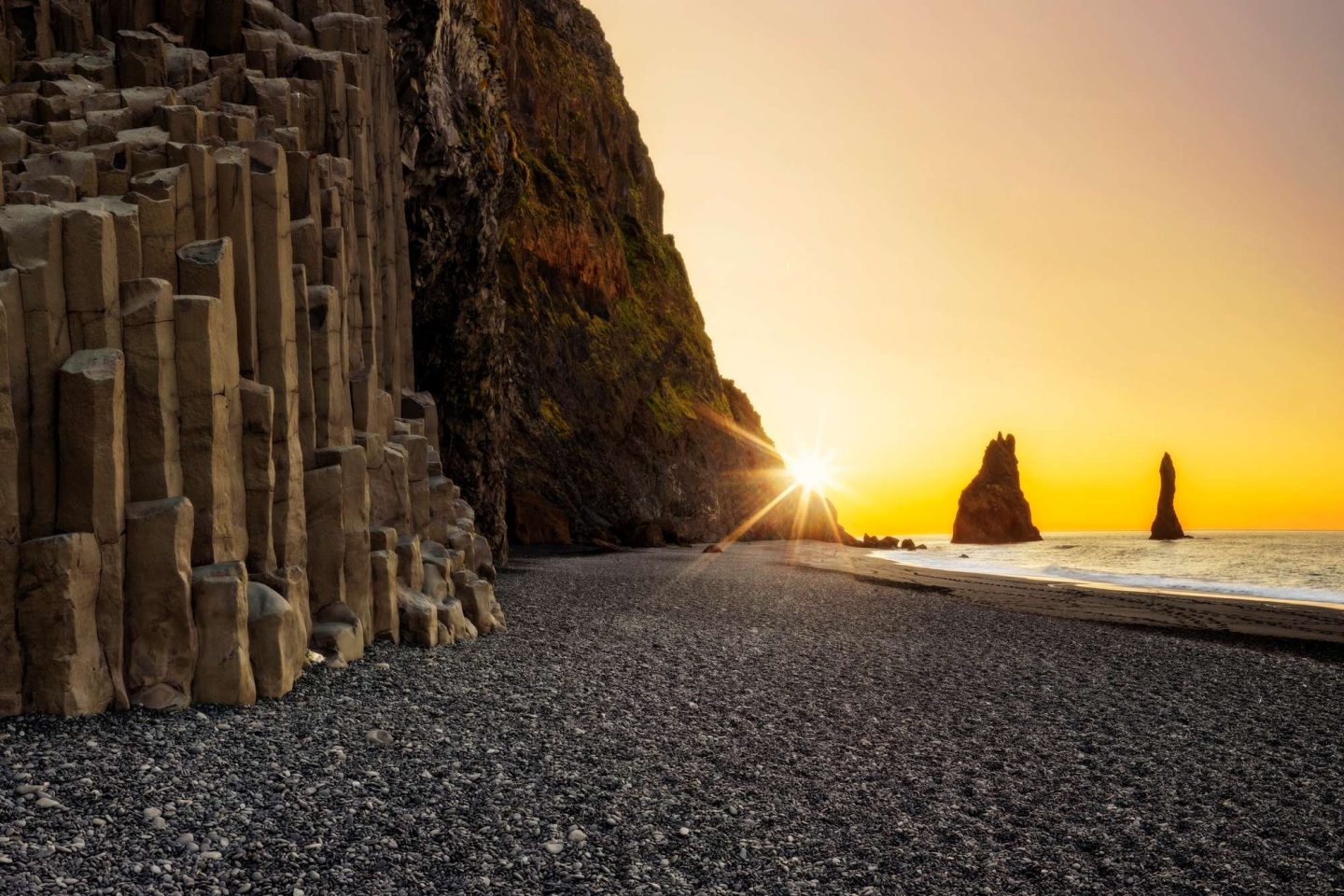
Dyrholaey is a great place to observe puffins and other seabirds as well as marvel at the natural rock formed by the pounding waves. If the wave sculpted, black-sand of Reynisfjara beach is not enough, it is framed with basalt-column cliffs and the sea stacks of Reynisdrangar. Also take the time to explore Vik, a small, pretty coastal town with a tiny hilltop church.
7) Lakagigar
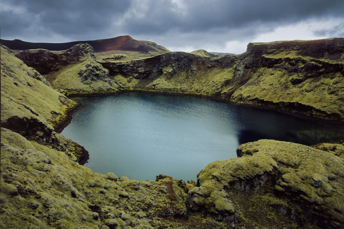
As you head east, expansive lava fields dominate the landscape. The Lakagígar region with its 27km-long string of craters is otherworldly, formed out of eruptions in 934 and again in 1783, the latter being one of the most violent volcanic eruptions the world has seen. Thick moss covers much of the lava adding a delicate overcoat to the rugged landscape.
This is a fascinating geological area with scenic spots such as striking Fjadrargljufur a 100m deep, two km-long canyon and Dverghamrar, basalt rocks just east of the waterfall Foss.
From the town of Kirkjubaejarklaustur, you can take excursions into the interior to view the craters around Laki.
8) Oraefajokull
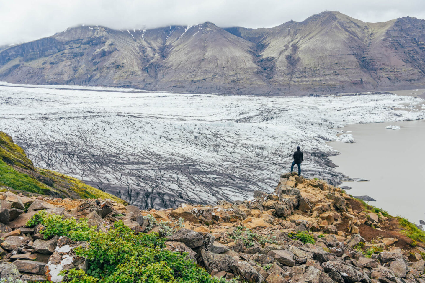
The south east of Iceland is dominated by Iceland’s largest ice mass and the final stage on the Volcanic Way takes you closer and closer towards Vatnajokull. Oraefajokull is the highest peak rising over 2,100m. Around it sits Skaftafell, a gem of natural beauty where hiking trails weave through woodland to glacial rivers and waterfalls tumbling over basalt cliffs. Several trails lead to glacier tongues. Be sure to drop in at Skaftafell Visitor Centre.
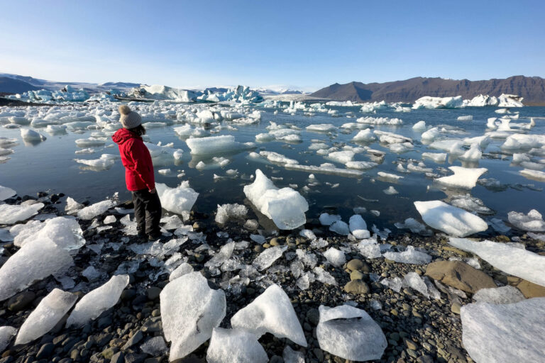
Scenic viewpoints and iconic sights abound in this corner of Iceland with Jokulsarlon following hot on the heels of Skaftafell. Hundreds of blue icebergs drift serenely towards the ocean at this magical lagoon. Across Road 1, their crystal-like remains glitter against the black sand of Diamond Beach.
Push further east and you reach the Stokksnes peninsula where the imposing sight of Vestrahorn looms in the distance before the route ends at the fishing town of Hofn.
With so much to see and do along route, backtracking westward gives the chance to visit places missed on the outward leg, though the quickest return route is 200km shorter. Of course, you might also choose to carry on your journey around Road 1, heading up to the East Fjords to North Iceland.
Feeling Inspired?
If you’re tempted to drive The Volcanic Way, look at our popular 7-day Essential Iceland itinerary. Choose to slow the pace down and we’ll tailor make your trip to add extra nights along the way, perhaps including a day trip to the Westman Islands.
Get in touch with our Travel Specialists on 01737 214 250 or send an enquiry.



 Instagram
 Facebook
 YouTube